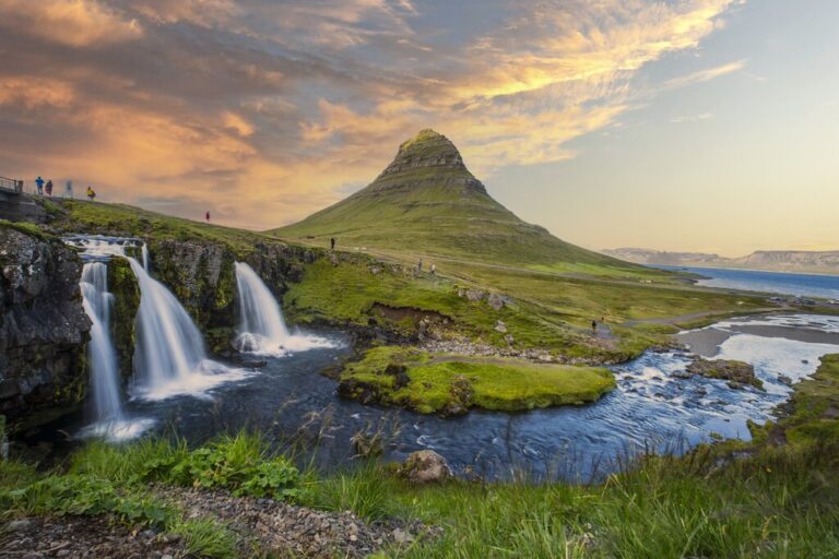
Hiking Kaldbakur Mountain in the Westfjords
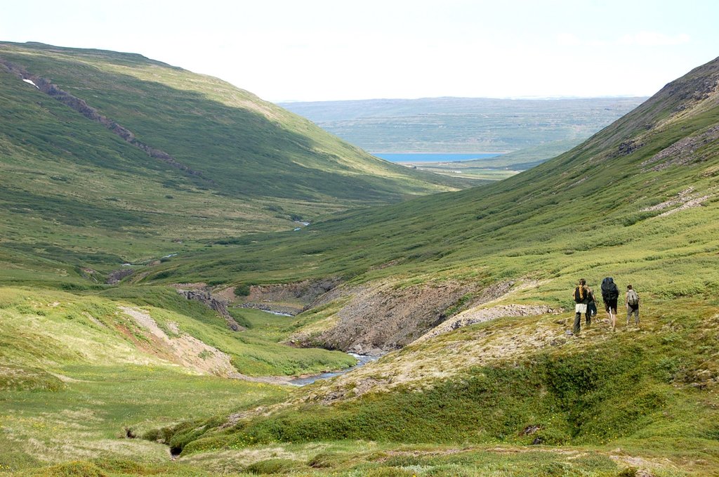
In terms of hiking the mountains of Iceland, the locals may consider the route up Mt. Kaldbakur, the highest point in the Westfjords, as relatively easy. This declaration is mostly because the trail is refreshing compared to others: no glaciers, no loose rocks, no razor-thin ridges, and no incredibly steep portions. However, this hike is classified as moderate because the trail does climb 3,780 feet (1,152 m) in about 3.5 miles (5.6 km).
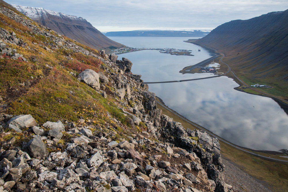
Not to be mistaken with the country’s other Kaldbakur Moutain in Northern Iceland, the one in the Westfjords takes you up the Kirkjubolsdalur Valley and on a rough jeep trail. Then, you’ll hike along the shoulder of Kaldbakur, a part of the trail that reveals astonishing views over the town of Ísafjörður and the entire Westfjords peninsula. At the top, you’ll find a large cairn built by the Danish mapmakers in 1914.
The hike up Mt. Kaldbakur offers a unique opportunity to experience the stunning natural beauty of the Westfjords region of Iceland. As you make your way up the trail, you’ll be treated to breathtaking views of Ísafjörður and the surrounding landscape. The challenging yet rewarding hike is a great way to immerse yourself in the rugged wilderness of Iceland while also enjoying the sense of accomplishment that comes with reaching the summit. Be sure to bring plenty of water, snacks, and appropriate gear for this unforgettable adventure in one of Iceland’s most picturesque regions.
A-Activ-27sep2025-1228